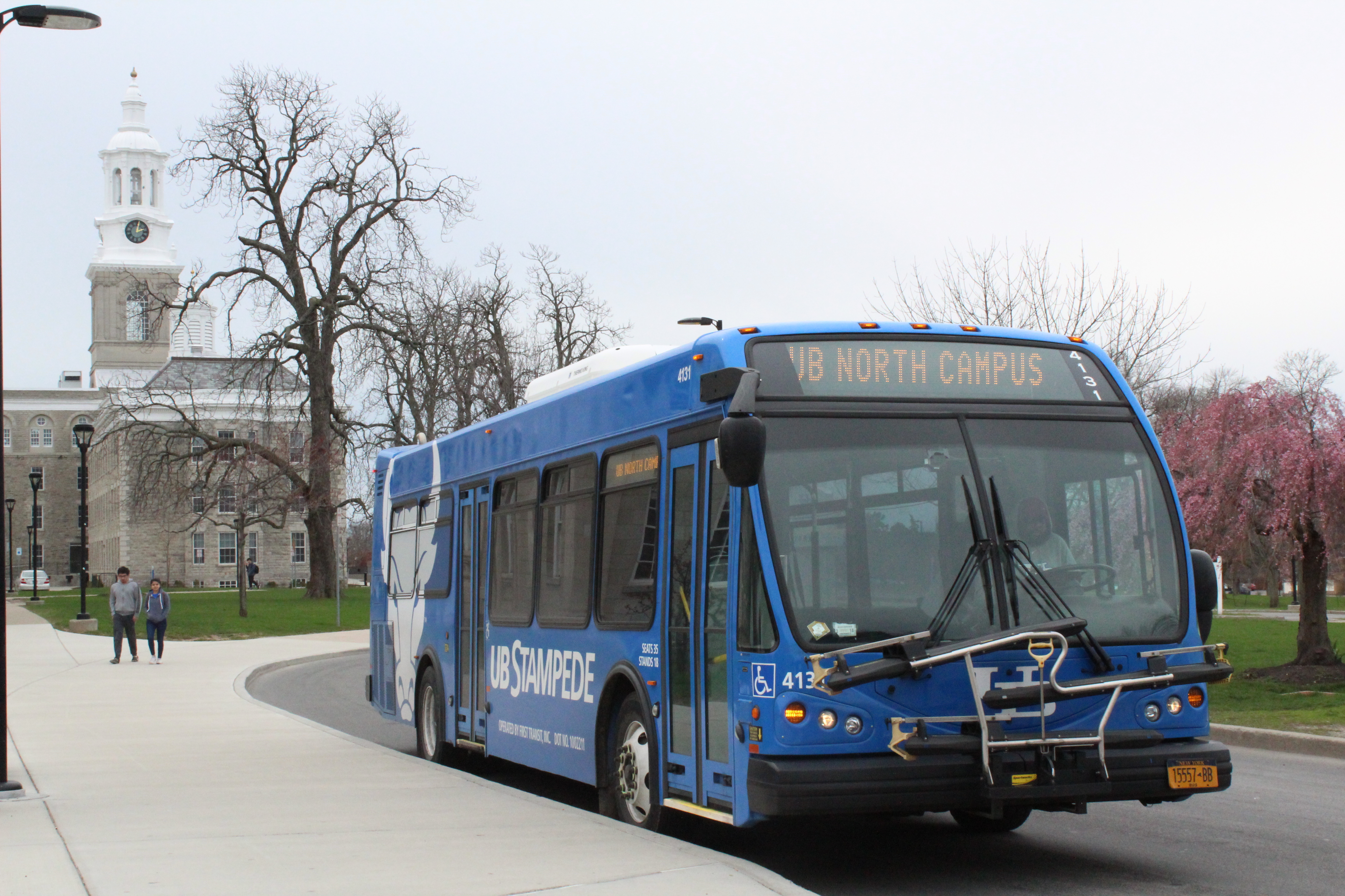
Transit/Stampede Information
Explore your transit choices for getting around campus, going between campuses, and traveling to and from UB.
Use the UB Stampede & Shuttle Routes Map below to plan trips within and between campuses on UB’s free shuttles and buses. You can even track the location of your shuttle/bus in real-time!
Use the Transit Trip Planner below to plan trips throughout the Buffalo Niagara region on NFTA-Metro Bus or Rail.
UB Stampede Buses and Shuttles
Getting around campus and between campuses is fast, easy and free. UB buses and shuttles let you park once on any campus and then use university transportation throughout your day.

Public Transportation
The Niagara Frontier Transportation Authority (NFTA) offers public transportation throughout the Buffalo-Niagara region, including stops on campus.
NFTA Bus Stops
Transit Itinerary
New to public transportation? Looking for a back-up route in case your train or bus line gets temporarily closed? Don't know how you would get to work in the event of a weather emergency? If you answered yes to any of these question, then make sure to request Transit Trip Assistance by selecting "yes" when completing your profile and a Transit Trip Itinerary will be emailed or mailed to you.
UB Stampede & Shuttle Routes Map
Get around North, South, and Downtown Campuses. Use our Interactive Campus Maps to locate buildings and stops.
Transit Trip Planner
Get around the Region on NFTA-Metro Bus and Rail.
The map below makes it easy for you to plan your route using public transportation. Simply enter your start and end destinations and our map will do the rest! If you want to get directions for a different time or date, or if you want directions by bike you can make those changes in the Settings drop down menu.