Pedestrian & Bicyclist Safety
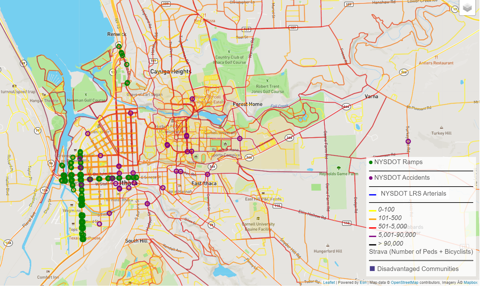
This use exploration provides a visual look at pedestrian and bicyclist safety via several dataset layers, showing NYSDOT linear reference system (LRS) arterials where accidents are most common. The exploration layers ramps, accidents, and Strava data to formulate a better picture of pedestrian safety and identify potential opportunities for improvement, such as additional sidewalks, ramps, intersection improvements, signal improvements, and bike infrastructure.
The NYSDOT 2019 accident dataset includes accidents that involved either a pedestrian or bicyclist injury or fatality.
The Strava data includes pedestrian and bicyclist counts by OpenStreetMap (OSM) segment to allow users to identify streets where usage is highest. Strava data has been shown to be a good proxy for overall pedestrian/bicyclist counts.
The ramp dataset includes a popup that allows a user to view the Google Streetview for a selected ramp.
To request access, please complete the Access Request form.
An example of the detailed data for this data exploration is shown in the below image.

